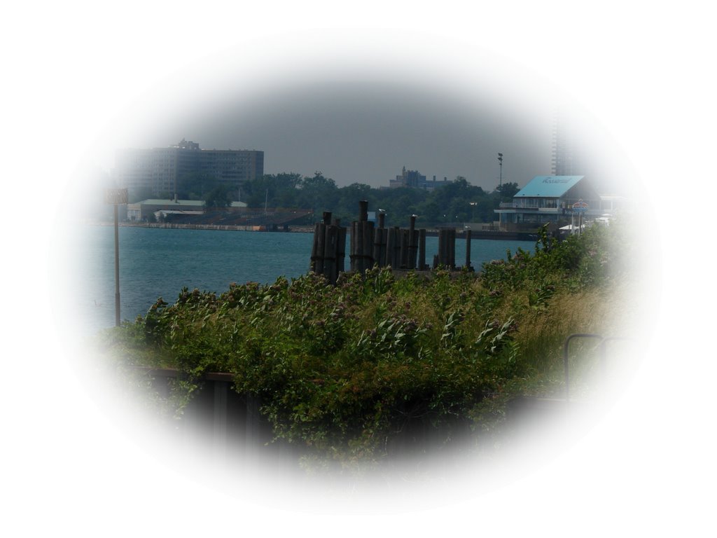
First River Glimpse
.jpg)
posted by brian @ 11.7.06
0 comments
![]()
![]()
Lawrence Technological University College of Architecture & Design Guest Professor - Raveevarn Choksombatchai Advisor - Christian Unverzagt
Station 'A' is located at the base of St. Jean Avenue at the Detroit River.
posted by brian @ 2.7.06
0 comments
![]()
![]()
posted by brian @ 4.6.06
0 comments
![]()
![]()
posted by brian @ 3.6.06
0 comments
![]()
![]()

posted by brian @ 1.6.06
0 comments
![]()
![]()
posted by brian @ 31.5.06
0 comments
![]()
![]()
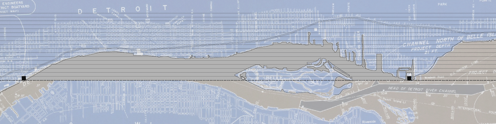
Soundings of Detroit River between Windmill Pointe and Fort Wayne.
posted by brian @ 31.5.06
0 comments
![]()
![]()
posted by brian @ 31.5.06
0 comments
![]()
![]()
Detroit River Water Levels...
posted by brian @ 30.5.06
0 comments
![]()
![]()
Detroit River International Comprehensive Conservation Plan
posted by brian @ 30.5.06
0 comments
![]()
![]()
posted by brian @ 30.5.06
0 comments
![]()
![]()
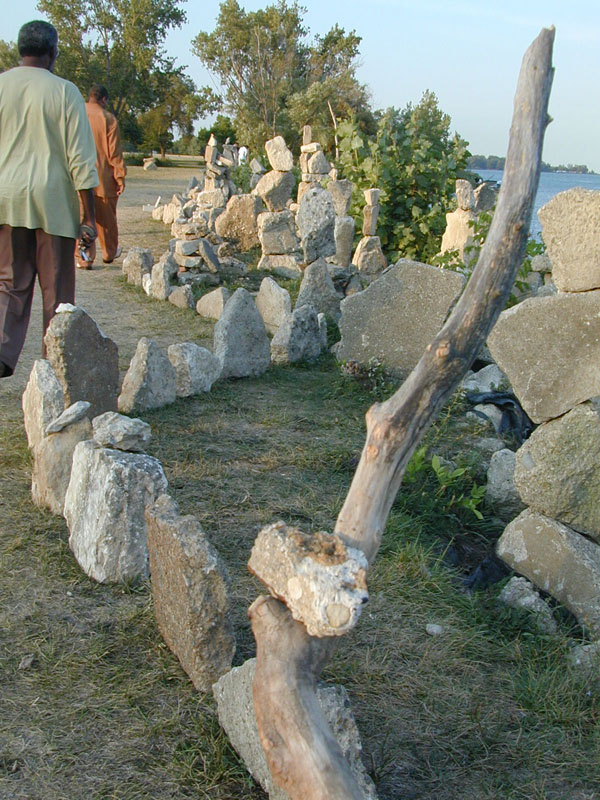
Urban beach
posted by brian @ 29.5.06
0 comments
![]()
![]()
Lawrence Technological University College of Architecture & Design Guest Professor - Raveevarn Choksombatchai Advisor - Christian Unverzagt


